Well, Yuma isn’t just flat lands for agriculture, there are some mountains around circling the area good for hiking. We actually got in two good hikes while we were in town. Our first was to Antelope Hill, a 575-foot knob of sandstone east of Wellton, about 25 miles east of Yuma. Experts believe that Antelope Hill was the West’s largest milling quarry, a neutral site where many tribes found sandstone to shape into grinding tools. The old quarry is gone, a newer quarry which marred the entire west side of the hill is gone also. But it can be seen from afar. Note the big ‘A’ on the right hand side of the hill and where the modern quarry marred the hill on the left.

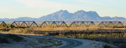
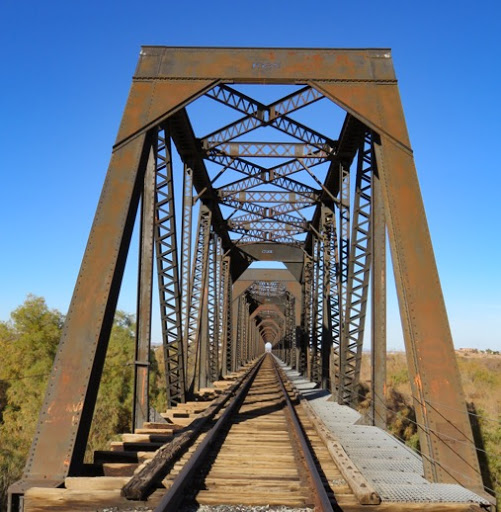
To get there we passed this cool iron truss bridge.
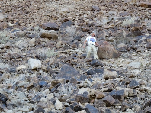
We parked, got out and began to climb up a slight trail curving around the hill.
We didn’t see many petroglyphs so I climbed down to look from below. Sure enough we had climbed above them. I called to Gary to come down to see them.
He picked his way down through the rocks.
Ah, the great hunter has found his own ancient relic on his way down, an empty beer carton.
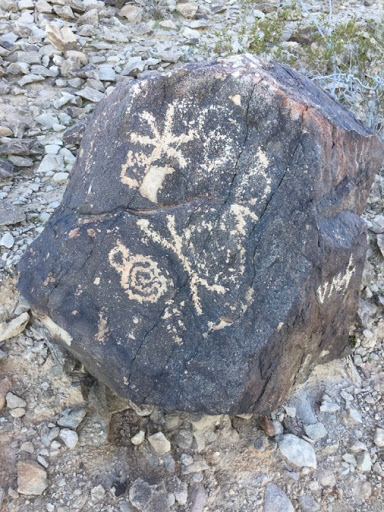
Archaeologists think that Antelope Hill has been used for thousands of years. It began with prehistoric trails formed as people moved around the hill looking for the right rocks to quarry. Here some artist found rocks with the special ‘desert patina’, the black surface on some rocks, to make his art on. we really don’t know who left these marks nor what they mean, but they are special and so much fun to find.
Others of a much more recent era also carved into these rocks.
Across the road is this marker. Of course, we hiked over to see this too.

And, wouldn’t you know it - it marked the spot where the Mormon Battalion trekked and explored through the West in 1846. If you’ve ever explored through the Desert Southwest, you’ve heard of the Mormon Battalion. Here’s a map of their route from Wikipedia.
The Mormon Battalion was the only religiously based unit in United States military history and served from July 1846 to July 1847 during the Mexican–American War of 1846–1848. The battalion was a volunteer unit of between 534 - 559 Latter-day Saints men, led by Mormon company officers commanded by regular U.S. Army officers. During its service, the battalion made a grueling march of 1900 miles from Council Bluffs, Iowa, to San Diego.
The battalion’s march opened up a southern wagon route to California and was part of the reason that Mexico ceded much of its northern territory to the US.
The Mormon Battalion finally arrived in San Diego on January 29, 1847.

As we were heading home, we noticed a familiar ‘aroma’ permeating the air. We looked over and saw large pens of cattle. From Google we got this image. We’re that blue dot at the bottom.

And, also from Google, we got a cattle by cattle view. Amazing. We can see individual cows in the pens.

Poor guys. Pretty soon, they’ll be on tables as steak and hamburger.


No comments:
Post a Comment