
 After we had hiked El Morro and see the Inscriptions, we headed back to El Malpais where there are a plethora of volcanoes. And, luckily, it was on the way back to our RV anyway. We stopped at the Ranger Staton where we saw this amazing map which shows the layers of volcanic ash, the volcanoes the ash came from and the relative dates of the eruptions.
Obviously some sections of the park are covered with many layers of ash and cinder cones. On this map you can see 5 distinct layers: brown, tan, grey, light blue and navy.
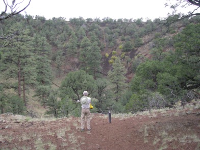
2 days ago we were on the East side of El Malpais looking out onto this cinder cone lava field. Today we are on the West side at what is called Bandera Crater, which is where the square with the X inside it is. And, actually, we are going to hike up to the huge cone left by the volcano which erupted 115,000 years ago.
The trail itself is pretty straight forward as it winds and twists through the lava strewn fields. We pass by some old caves, deep holes through the many layers of lava over hundreds of thousands of years. We finally reached the actual volcano and below I've pictured Gary standing on the rim of the volcano with the deep crater below him.
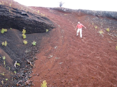
At the top, we turned to return the way we had come in but then spotted a shorter, more fun way to get down, through the red cinder pile. It was like coming down a huge sand dune but, instead of grains of sand, we were coming down marble-sized cinders.
They shifted beneath our feet with each step, sometimes covering our feet entirely but carrying us further and further down the hill. Of course, with each step, we could feel the smaller cinders enter our shoes. But it was a quick way down the slope and much shorter than the way we had circled into the cone via the trail.
They shifted beneath our feet with each step, sometimes covering our feet entirely but carrying us further and further down the hill. Of course, with each step, we could feel the smaller cinders enter our shoes. But it was a quick way down the slope and much shorter than the way we had circled into the cone via the trail.
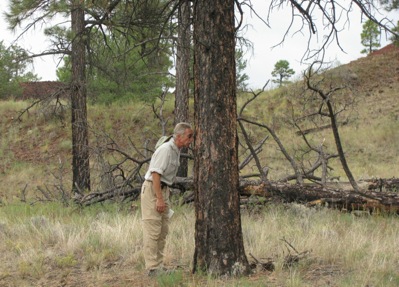
We also found what are called ‘cinder bombs’ since they were thrown from the heart of the volcano out onto the surrounding land. Here’s Gary crouchng next to one. Imagine looking up and seeing that aiming for your noggin.

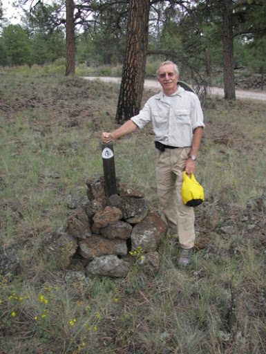
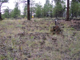
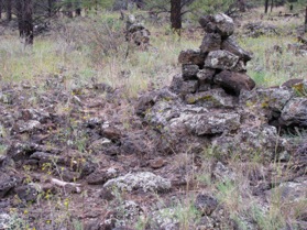
Back at the trailhead, we thought we’d take a few steps onto the Continental Divide Trail which runs 3100 miles between Mexico and Canada. We’ve hiked many trails, some are an obvious trail through the desert or the woods made wider by all the boots which have trod it. Other trails are scrambles over boulders larger than we are where we have to scramble to the top of one boulder to see the next part of the trail. Other trails are more obscure and need to be marked by cairns. This is certainly one of the latter. It is really not a trail at all, but a walk through cinders, large and small. Good hiking boots are a necessity or you’d twist your ankle when your foot landed wrong on a cinder. The trail is marked by huge pyramid cairns and the rule is, don’t leave one cairn until you have the next one in sight.
It is a rough trail at this point as you can see from these pictures.
Home for dinner.
4 320'
No comments:
Post a Comment